


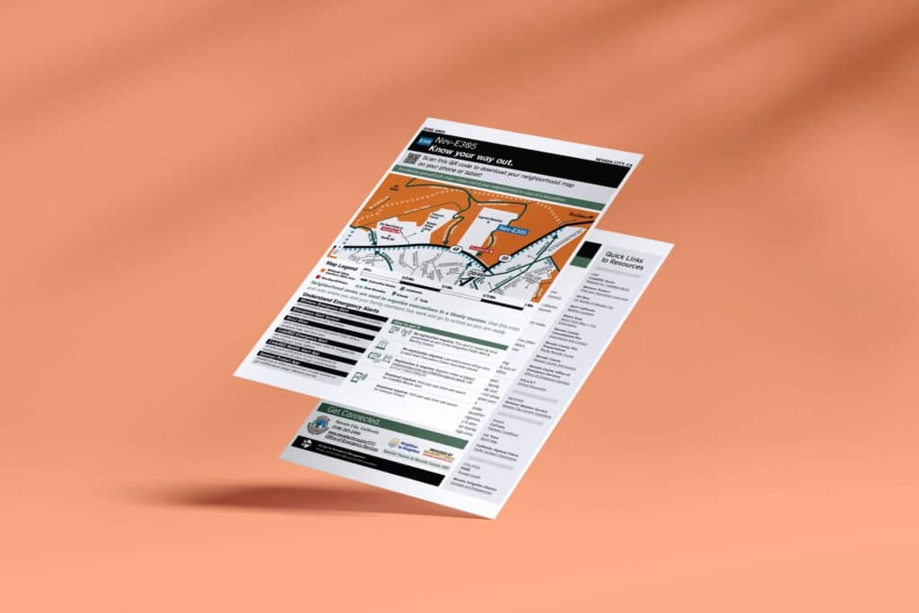

These maps were developed using research-informed visual standards by Claudine Jaenichen, whose work focuses on making life-saving information clear, accessible, and actionable. The goal is simple but powerful: to give residents and visitors clear evacuation routes and safe zones when time is limited and decisions are critical.
Preparedness is not optional — it saves lives. By adopting these standards, Nevada City joins a growing number of communities that are investing in resilience and proactive safety measures.
If your town or city is interested in exploring how evacuation maps like these can support your wildfire preparedness efforts, we’d love to connect.